Our Services
Professional Land Surveying Solutions for Every Project

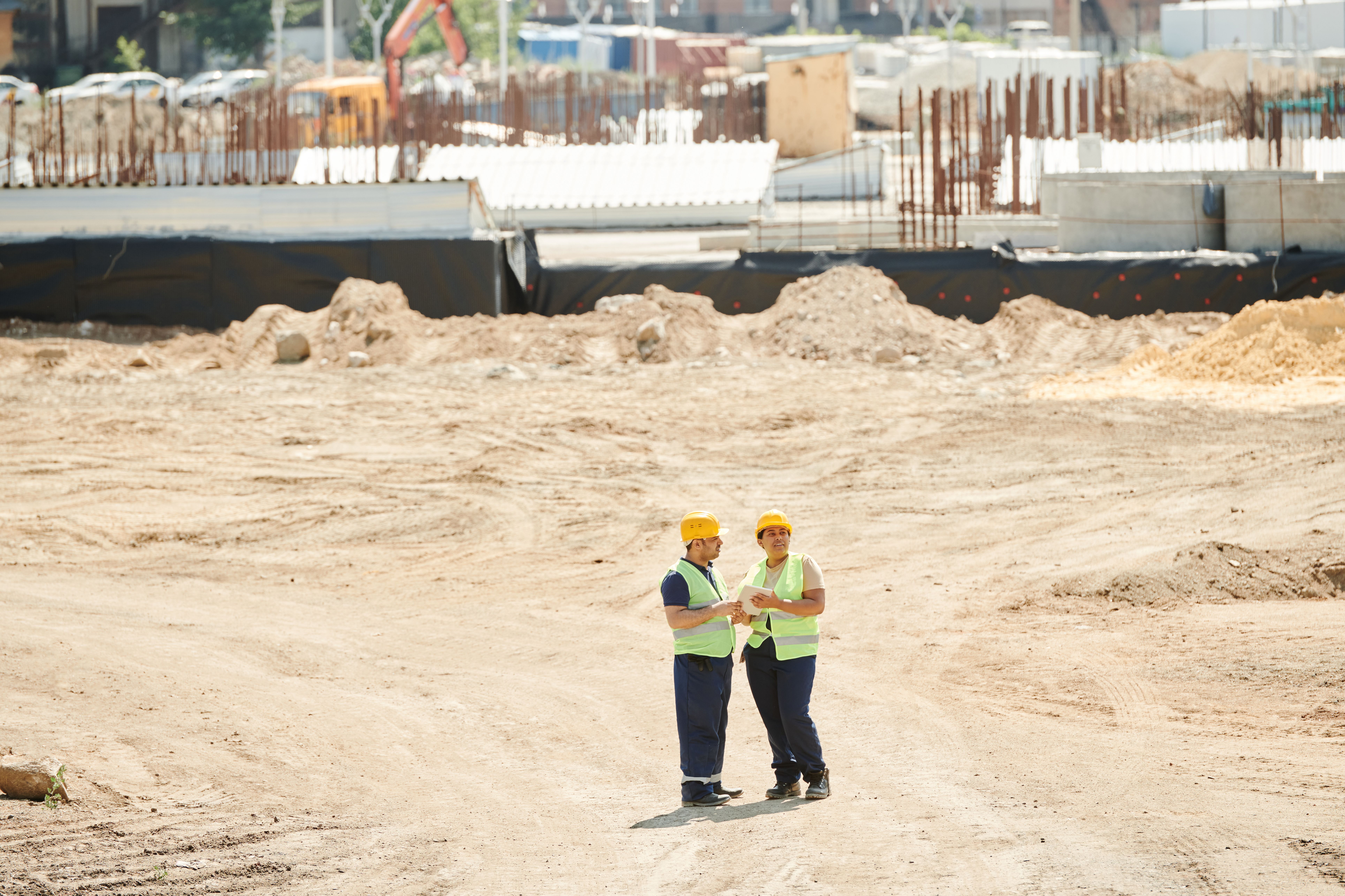
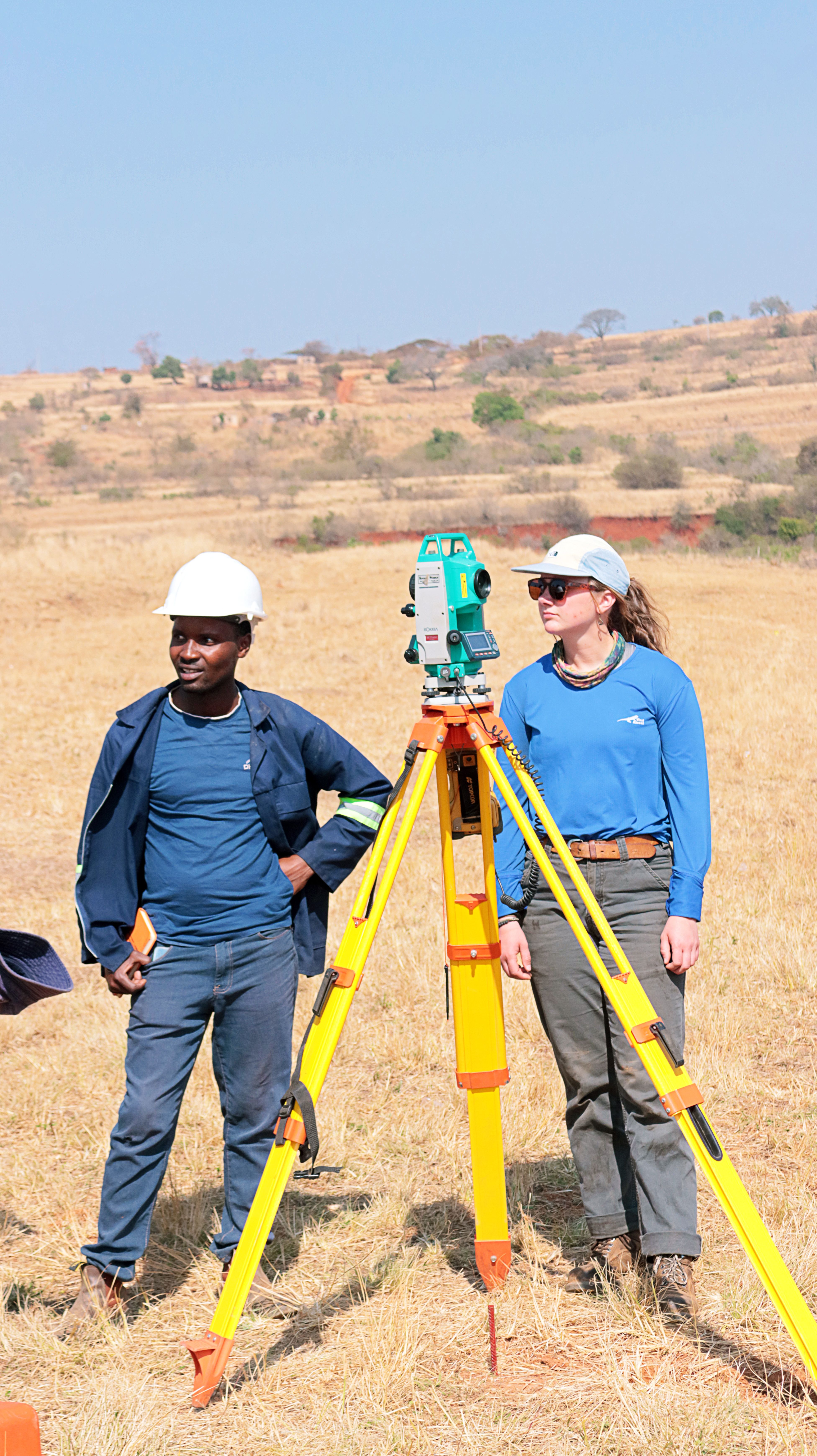
Boundary Surveying Services
Our boundary survey services provide precise determination of property lines and corners. We locate and monument property boundaries, identify encroachments, and prepare detailed plats showing boundary lines, easements, and improvements.
What's Included:
- Property line verification and marking
- Corner monumentation and restoration
- Encroachment identification
- Detailed boundary plat preparation
- Easement location and documentation
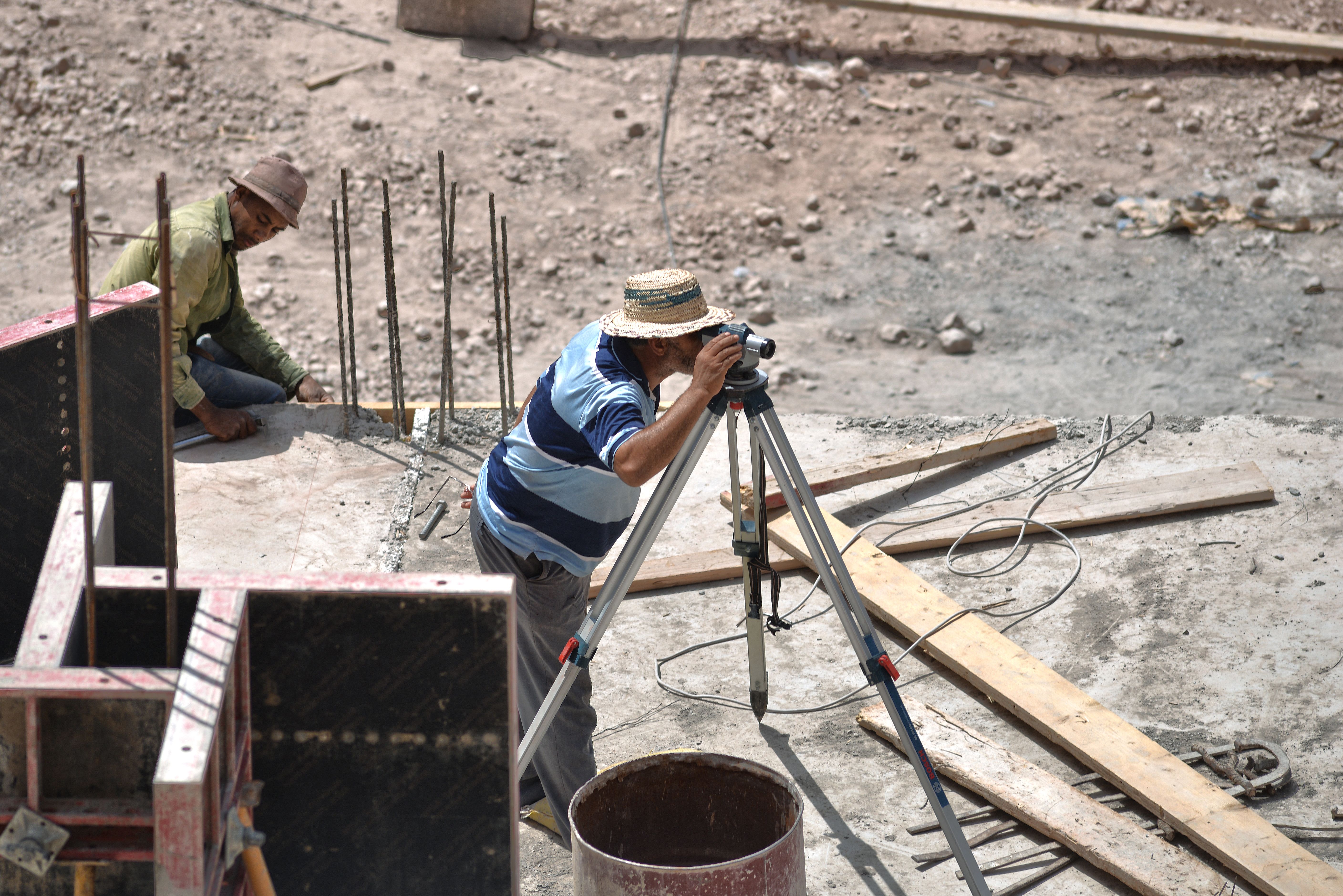
Topographic Surveys
We create comprehensive topographic maps showing terrain features, contours, utilities, structures, and other site improvements. These surveys are essential for site planning, engineering design, and land development projects.
What's Included:
- Detailed terrain contour mapping
- Utility location and identification
- Existing structures documentation
- Drainage feature mapping
- Tree and vegetation location
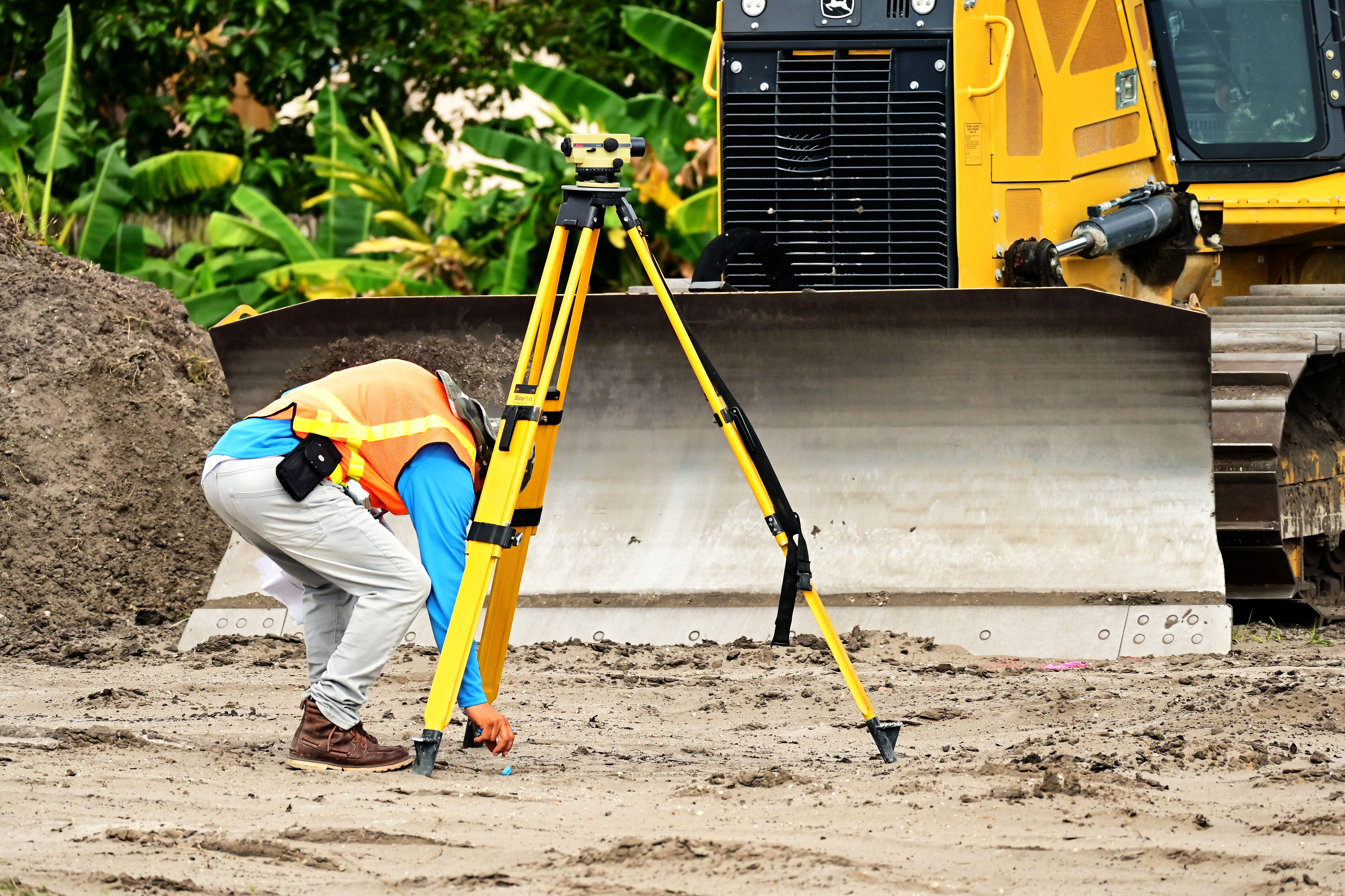
Construction Staking
Our construction staking services provide accurate layout and grade control for construction projects. We stake building corners, curb lines, utilities, and grading limits to ensure precise construction according to design plans.
What's Included:
- Building corner stakeout
- Utility alignment staking
- Grade and slope control
- Parking lot and curb layout
- As-built surveys upon completion
ALTA/NSPS Land Title Surveys
We perform comprehensive ALTA/NSPS land title surveys meeting national standards for commercial real estate transactions. These surveys provide detailed information required by lenders, title companies, and attorneys.
What's Included:
- Boundary determination with high precision
- All improvements located and shown
- Easements and rights-of-way identified
- Zoning setback analysis
- Complete Table A optional items as requested
Property Line Verification
We verify and mark property boundaries for fence installation, landscaping projects, or resolving boundary questions. This service provides clarity on property limits without the full documentation of a boundary survey.
What's Included:
- Property line marking and flagging
- Corner identification
- Simple sketch of property
- Written report of findings
Land Development Surveys
We provide comprehensive survey support for land development projects including subdivision plats, site plans, and development plans. Our surveys support the planning, design, and approval process.
What's Included:
- Boundary and topographic surveys
- Subdivision plat preparation
- Site plan support
- Construction document preparation
- Agency coordination assistance
Site Measurement and Mapping
We provide accurate site measurement and mapping services for property assessment, site planning, and documentation needs. Our detailed maps show all relevant site features and improvements.
What's Included:
- Site feature location and mapping
- Building measurements
- Parking and pavement areas
- Utility mapping
- Digital mapping files (CAD/PDF)

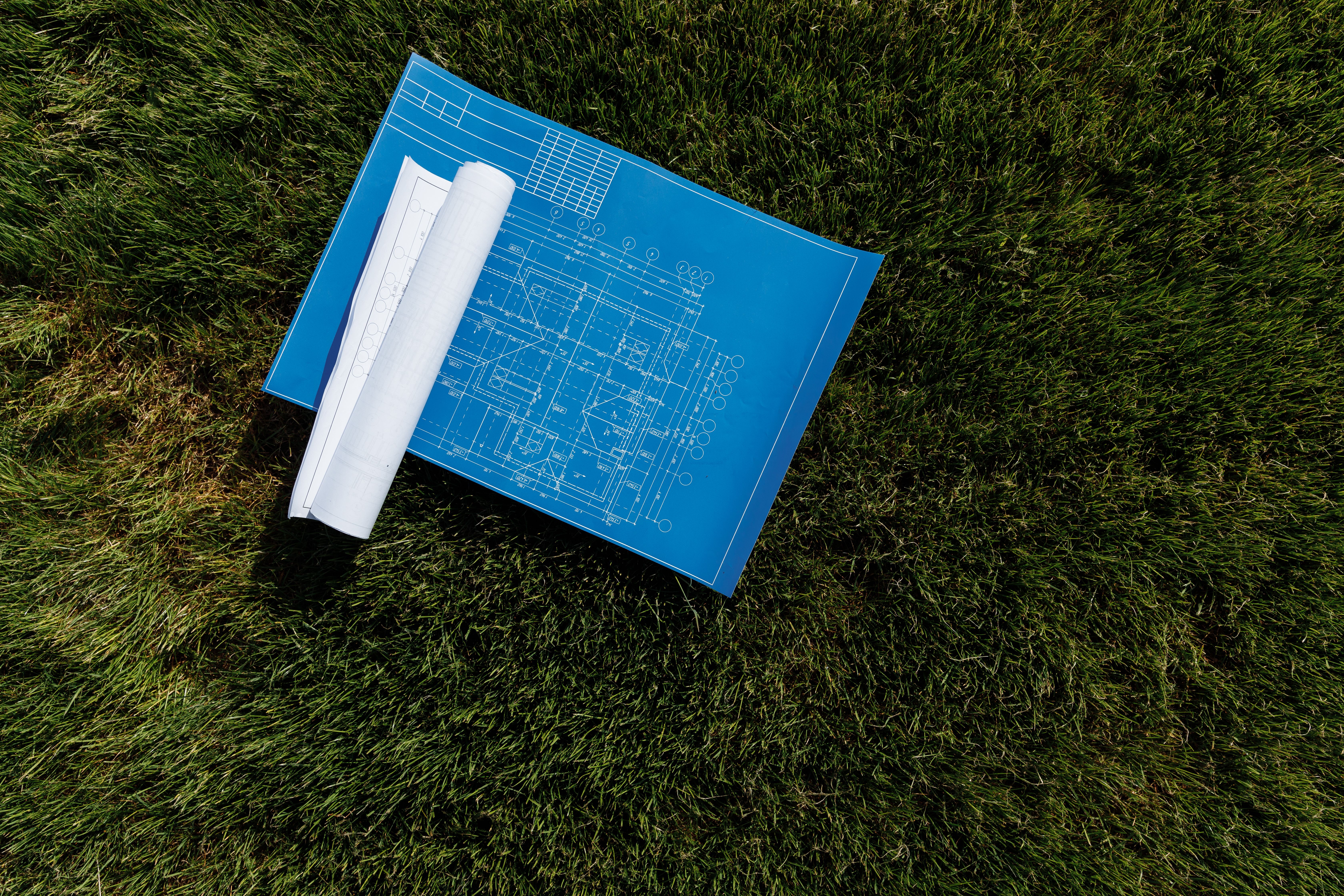
Survey Documentation and Reporting
We prepare professional survey documentation including plats, legal descriptions, and survey reports. Our documents meet regulatory requirements and provide clear, accurate information for legal and real estate purposes.
What's Included:
- Professional survey plats
- Legal descriptions preparation
- Survey reports and certifications
- Easement documentation
- Record plats for filing
Ready to Start Your Project?
Contact us today to discuss your land surveying needs and request a quote.
Request a Quote